Course photo.JPG)
.JPG)
.jpg)
Course.jpg)
N).jpg)
.JPG)


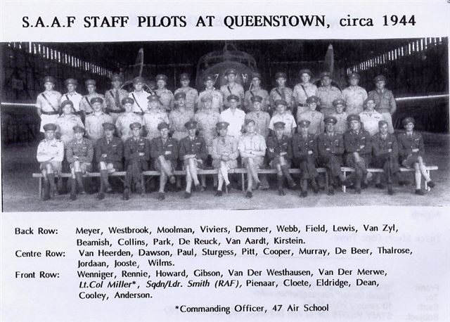
47 AIR NAVIGATION SCHOOL,
QUEENSTOWN, SOUTH AFRICA


THE
QUEENSTOWN AND
HANGKLIP
ASSOCIATION

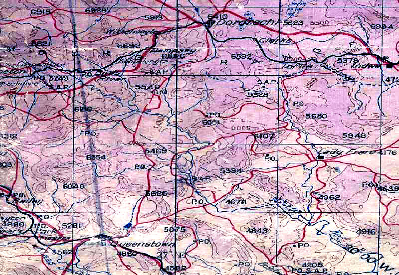
The background is a section of the map used by trainee navigators.
This map is predominantly 'mauvish' as opposed to the green colouring for lower altitude because Queenstown is situated in an area approximately 4000 feet above mean sea level.

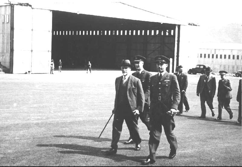
General Smuts on a visit to 47 ANS
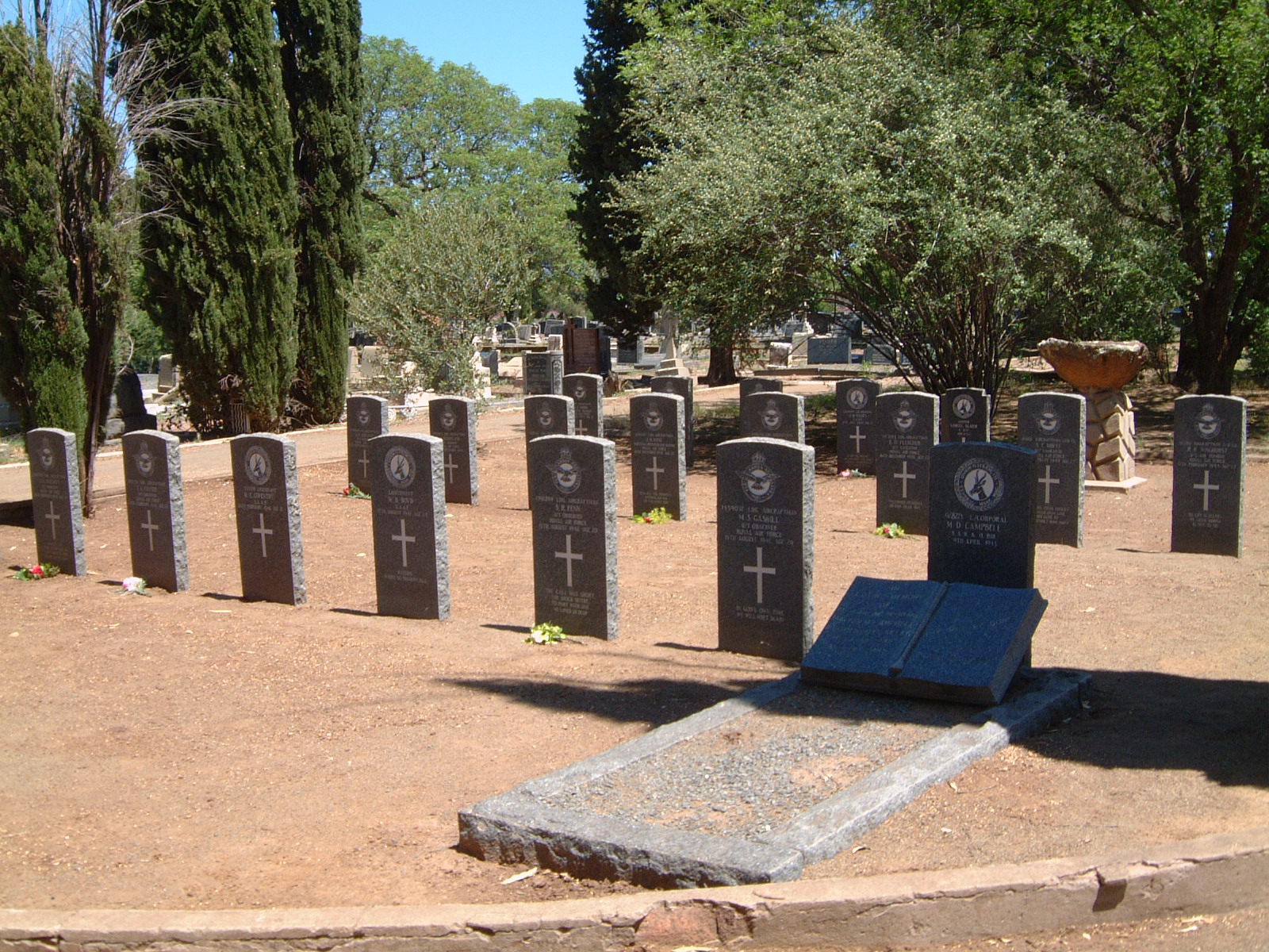
An area set aside in Queenstown cemetery
for the 22 (mostly aircrew) who died in service at
47 Air Navigation School


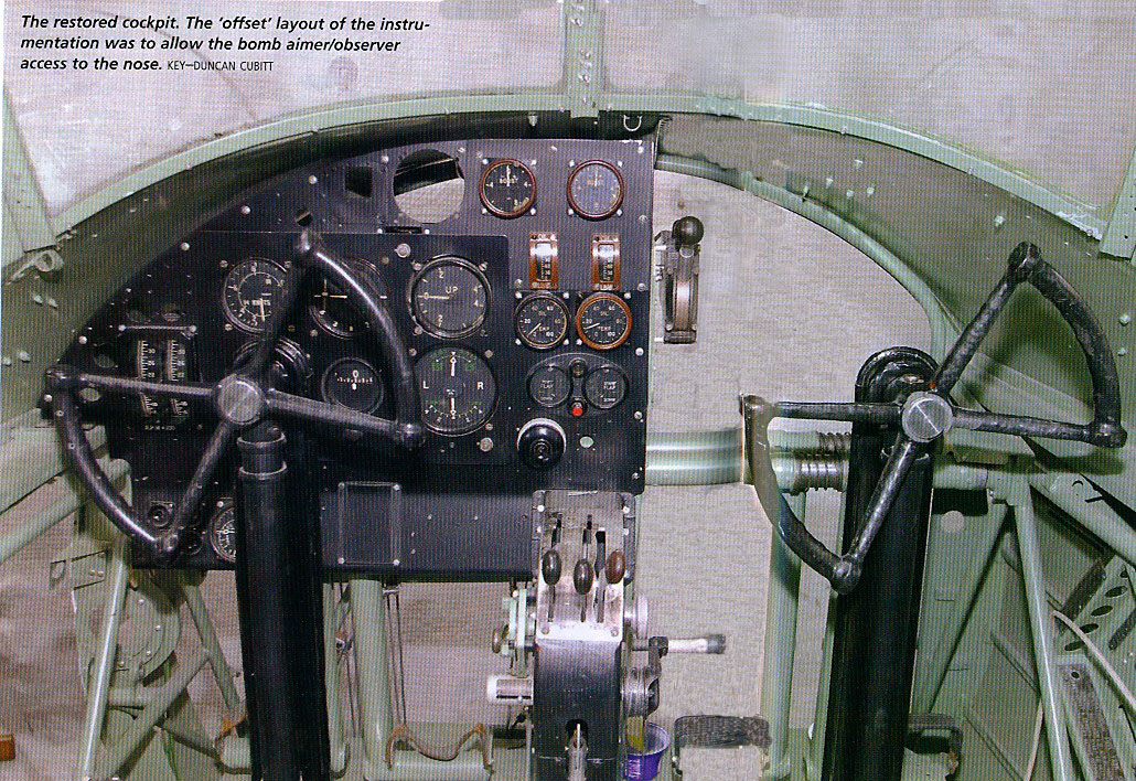
The Anson Cockpit with the second navigator's favourite handle (circled).
140 turns required to raise and lower the undercarriage
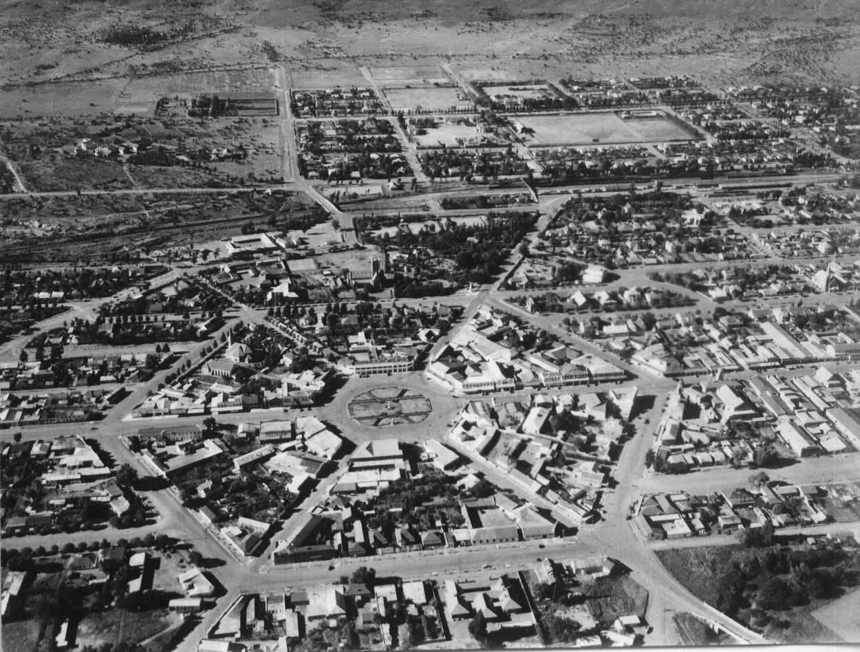
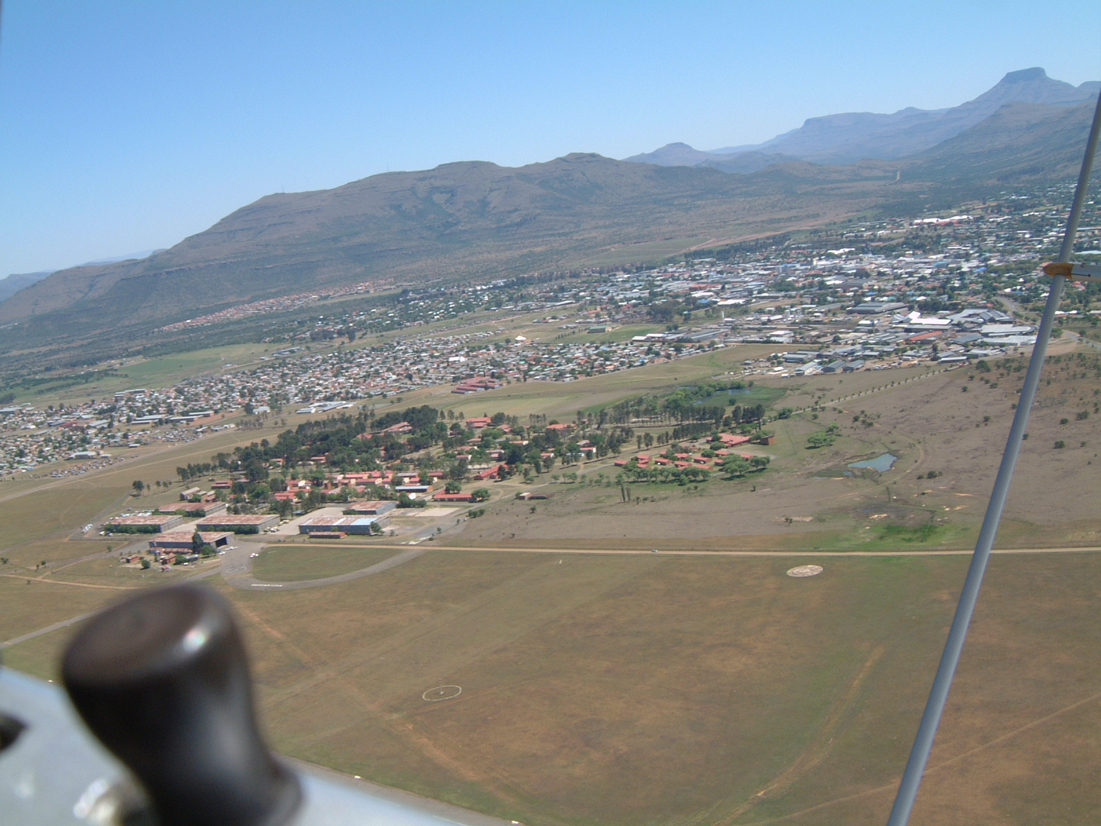
Queenstown in 1942 clearly showing the centre
known as The Hexagon.


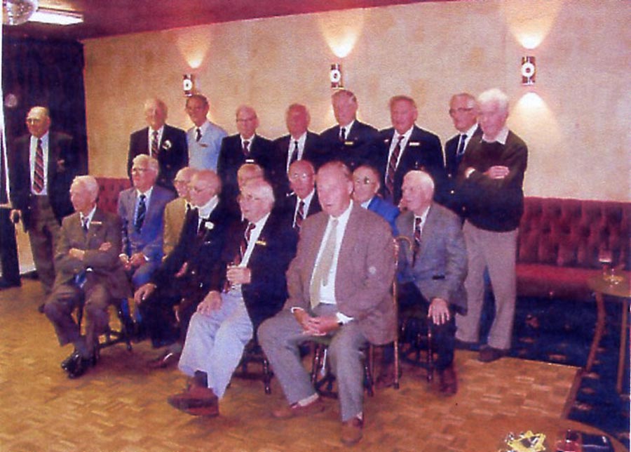
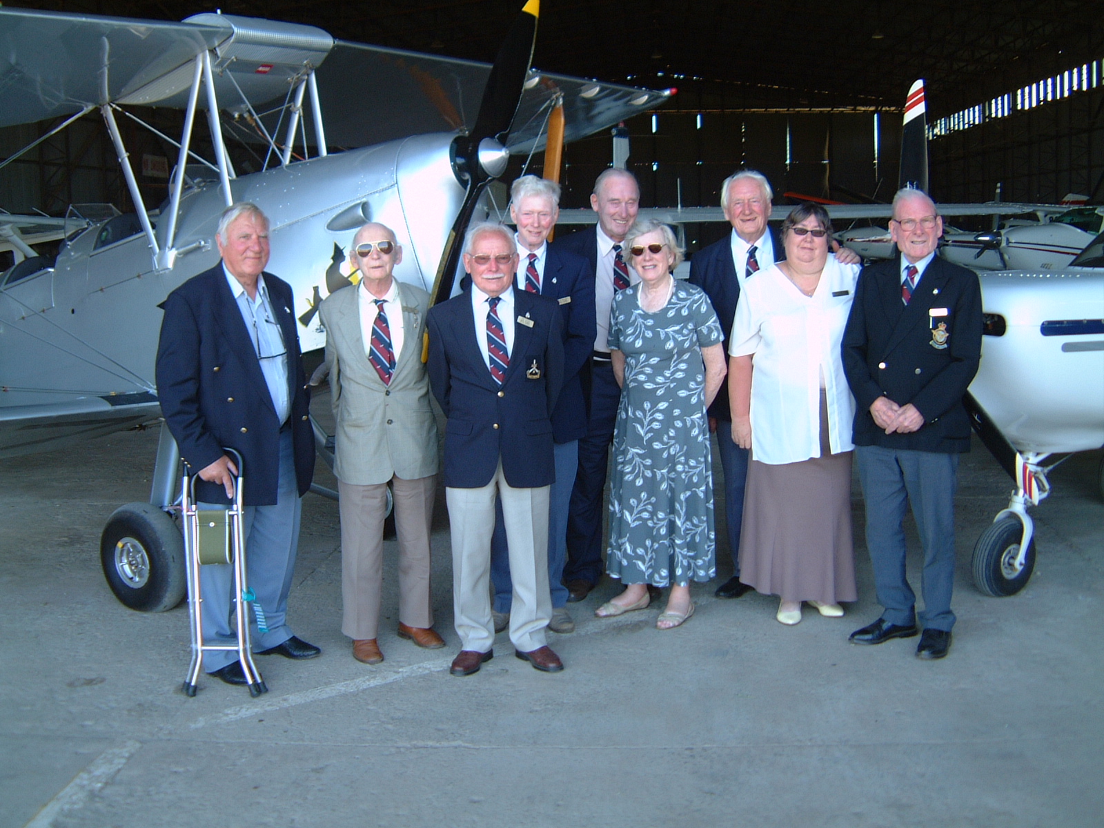
The Group who revisited Queenstown in October 2005
in the entrance to the hangar shown in the photo with
General Smuts (above left)


The original Station buildings appear in this photo which was taken in October 2005.


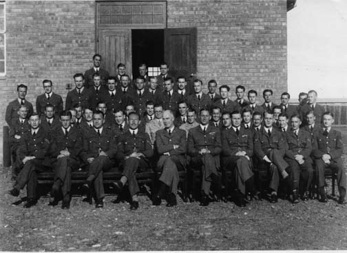
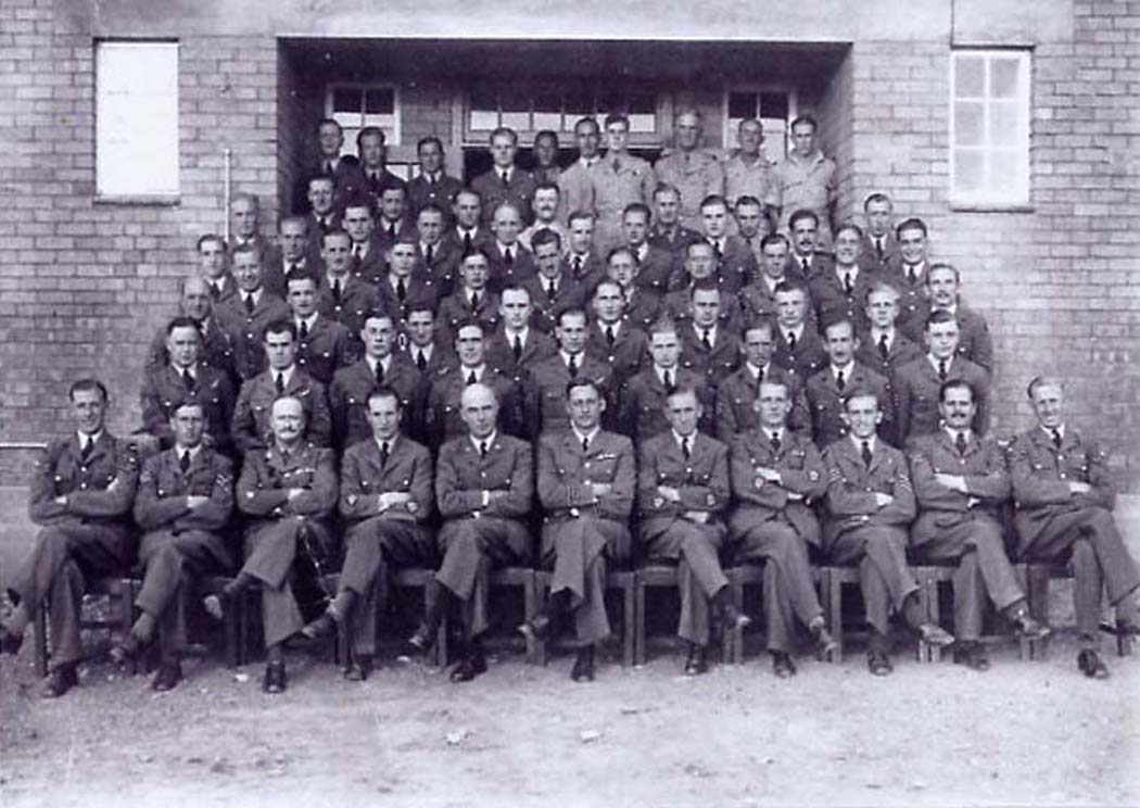
Course 25(N)
Course 18(N)
Course 14(N)
Course 13(N)
Course 7 (N)
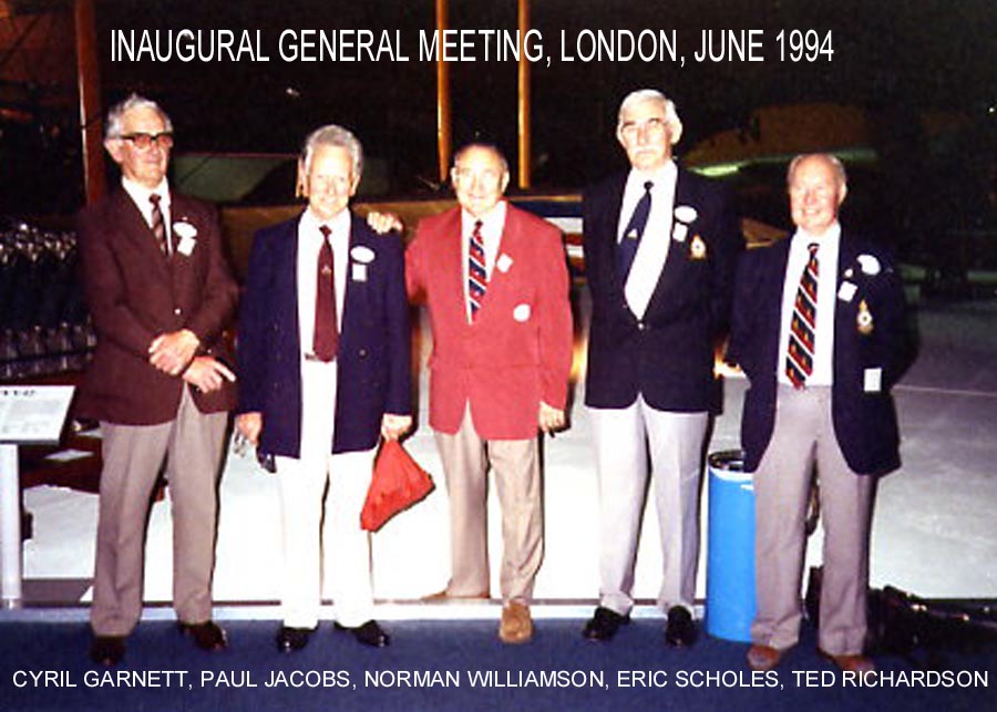
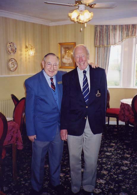
Norman Williamson and
John Moseley
two of QHA Founder Members
from Course 18 (N)
Group photo taken outside the Corporals' Club 1942
Group photo outside the Sergeants' Mess 1942


Course 12 (N)


A REUNION PHOTO
Course 28(N)


 Course.JPG)